In a nutshell
- Kirkenes was occupied for most of the war and became a supply base for the northern front, which is why the fjord around it was fortified.
- The town was struck by air raids again and again, and almost nothing of the old Kirkenes was left standing by the end.
- Gun positions, foundations and dug earthworks remain on the low shoreline, close enough to the water to be seen from the boat.
Why this corner of Norway mattered
Kirkenes is a small town, and standing in it today it takes an effort to see why anyone would fight over it. The answer is iron and position. There was an iron ore mine here, and the town sits on an ice-free fjord at the very top of Europe, a few kilometres from the Russian border. In a war fought partly over the supply routes of the far north, an ice-free harbour next to a mine next to a frontier was worth a great deal.
German forces occupied Norway in 1940 and Kirkenes became a rear base for the push east toward Murmansk. That turned the town into a garrison and a supply depot, with troops, ships, aircraft and fuel concentrated in a place that had previously been a mining settlement of a few thousand people. Everything that happened to it afterwards follows from that.
The bombing
Because it was a supply base within reach of Soviet airfields, Kirkenes was bombed persistently for years rather than in a handful of famous raids. It is routinely described as one of the most heavily bombed places in Europe during the war, and the striking part of that statistic is not the total but the repetition: air raid after air raid on a town of a few thousand people, over and over, for most of the occupation.
By the end, the town was essentially gone. What you see in Kirkenes today is a postwar town, rebuilt on the site of one that had been destroyed. That is worth knowing before the boat leaves, because it changes what the empty ground along the fjord means. The absence of old buildings is not because nothing was ever built here.
What the fortifications were for
A fjord that ships use is a fjord that has to be defended, and the positions along the Kirkenes shoreline were there to cover the approaches to the harbour. Coastal gun emplacements, anti-aircraft positions and the infrastructure that went with them were dug into the low ground on both sides of the water, sited to command the channel that vessels had to pass through.
The landscape here made that comparatively easy. Because the shoreline is low and rolling rather than sheer, there are long open sightlines across the water, and positions could be dug into the ground rather than built up out of it. That is also why so much of it survives in some form: earthworks and concrete set into a bare hillside do not rot away, and there has been no pressure to build over them.
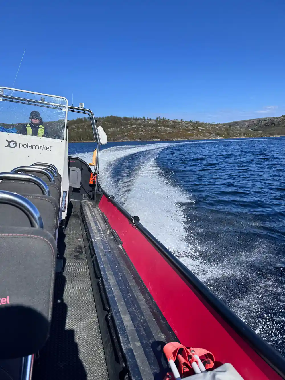
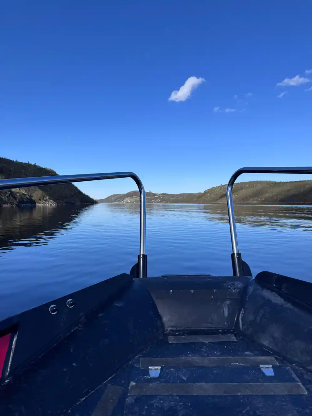
The low shoreline of the Kirkenes fjord, where the wartime positions were dug
What you actually see from the boat
This is where honesty matters more than drama. You are not passing a preserved museum site with signage and a car park. What is visible from the water is the shape of things in the ground: emplacements, concrete, cut platforms and disturbed earth on an otherwise bare shoreline, in positions that make obvious sense the moment somebody explains what they were covering.
That is precisely why the guide matters on this stretch. Without commentary, a low shore with some concrete on it reads as a low shore with some concrete on it. With it, the arrangement becomes legible, and the fjord you are crossing to reach the crab pots turns out to have been a defended channel within living memory.
The liberation, and the tunnel
The other half of the story is how it ended. Soviet forces pushed into eastern Finnmark in October 1944, and Kirkenes was liberated by the Red Army rather than by Western allies, which is a distinction the town has never forgotten. As German forces withdrew across Finnmark they burned what was left behind them, a scorched-earth retreat that destroyed towns and villages across the whole county.
The civilian side of that is the part that tends to stay with people. Townspeople sheltered from the bombing in tunnels dug into the rock, and a great many of them were living underground by the end. Understanding that the population of a Norwegian town spent the last stretch of the war in mine tunnels while the surface was destroyed gives the quiet fjord you are crossing a considerably different weight.
Why it belongs on a crab safari
It could easily feel like two unrelated trips bolted together, and it does not, for a reason worth stating. Both halves of the day are about the same thing: what this remote piece of coast has been used for. The fjord was a supply route and a defended channel, and now it is a fishery. The boats you pass at the start work the crab; the ground you pass afterwards was dug to cover the same water.
It also gives the trip a shape. A safari that is only about pulling pots is a good hour repeated. Crossing a fjord with a history, stopping to look at it, and then eating the catch on the far shore is a day with a middle to it. Most people book this for the crab and end up talking about the fjord.
See the fjord and its history from the water
from US$278Reserve now & pay later